





Find your
footing with us
Join a team making field measurements something everyone can trust.
See open rolesJoin a team making field measurements something everyone can trust.
See open rolesQuietmoor is survey software that folds raw field measurements, drone imagery and eighty-year-old paper site records into one verified basemap, so that crews stop arguing about where the boundaries and services actually sit.
Give every crew one map they can trust before the first shovel moves.
A world where any parcel line, buried service or spot height can be checked in seconds by whoever happens to be standing on it, with no week of paperwork behind it and no second trip out to the site.
These are the habits we hire for, promote on, and quietly keep score on.
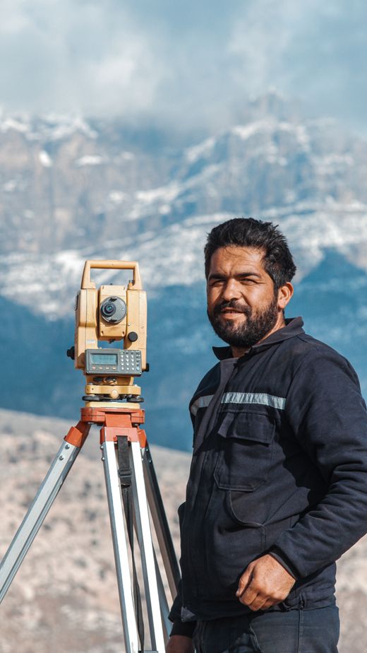
We do not trust a measurement we have not stood next to. If a number looks wrong on the screen, someone drives out and checks it.
That habit costs us time and saves our customers far more of it. Every disputed boundary we have ever settled was settled by a person with muddy boots and a clear head, never by the louder argument.
So we budget for site visits the way other firms budget for conferences. Ask for the trip. Take the long way round. Come back with photographs, and tell the rest of us what the map got wrong.
A job should leave room for everything that is not the job. These are the things we pay for so the rest of your week stays yours, wherever you happen to live.

We are a field-first team of sixty-eight people across nine countries, and we have worked this way since the first survey we ever ran.
Overlap is four hours a day and everything else is written down, so the rest of the week is yours to arrange around the site you are nearest to.
See open rolesApplied Research owns the part of Quietmoor that has to be right before anything else can be: turning aerial imagery, satellite traces and eighty-year-old paper plans into a single geometry we are willing to sign our name against. The team puts chartered surveyors in the same room as machine-learning engineers, which is an unusual room to be in and, we think, the reason the numbers hold.
We would rather you finished this process knowing more about the work than when you started it.
Read the role properly, then send anything that shows how you think — a repo, a report, a map you are proud of. No cover letter needed.
If it looks like a fit we book a short call, then two or three longer conversations with the people you would sit beside every day. Usually three weeks end to end.
Everyone who met you writes up what they saw before anyone compares notes, we sit down together once, and you hear back either way within four working days.
We hire slowly and deliberately. If nothing fits today, write and tell us what you are after.