
Three Days in Port Amaris
Draft Updated 4 minutes ago
Template:

Map

Port Amaris, Kessaly Coast
SELBY MOOR NORTHWATCH HALDEN KIRKWALL RISE TAMBRIDGE LOW GARNET CLARENDON QUEENSMEAD HARBOUR WALK EAST QUAY FARROW ISLET M4 R7 A21 Quayside Rd Ellery Way M4 Port Amaris
Thornfield Aviary
AMR
Saltmarsh Conservatory,
Lantern Quay
Lantern Quay Gardens
trailkite maps
Keyboard shortcuts Map data © 2026 Trailkite Labs 2 km Terms Report a map issue

Detours worth the extra hour

Pulled from the 214 stops your saved guides share along this stretch of coast — each one sits within a 40-minute ride of the route above.

Paper lanterns strung above a night food stall — Mikhail Nilov on Pexels

Verdance Pier night market

Open till 23:30 · 4.6 · 312 notes

Eighty stalls on a working pier. Go for the clay-pot rice at the far end, past the boat repair sheds.
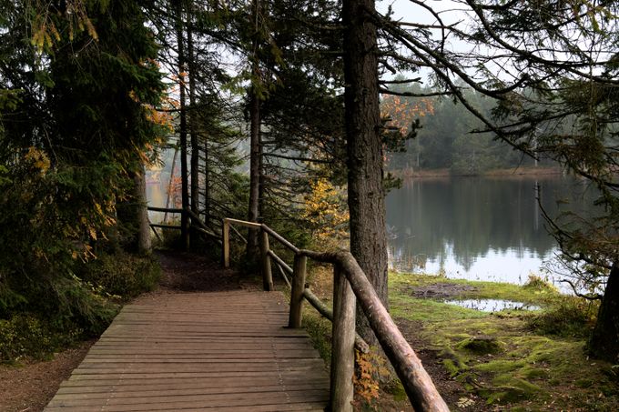
Timber boardwalk through pines beside a still lake — Jean-Paul Wettstein on Pexels

Ashgrove Reservoir loop

7.4 km trail · 4.8 · 189 notes

Flat boardwalk around the old catchment. Best light about an hour before sunset, when the herons come in.
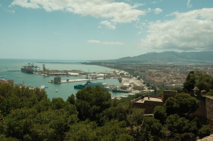
Harbour and coastline seen from a wooded hilltop lookout — Ramon Karolan on Pexels

Kirkwall Rise lookout

Free entry · 4.3 · 97 notes

A short scramble above the ridge road. The whole harbour reads as one shape from the second bench.