Sees the terrain.
Solves the route.
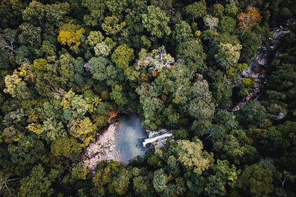

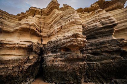
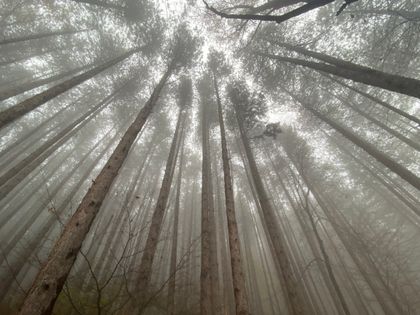
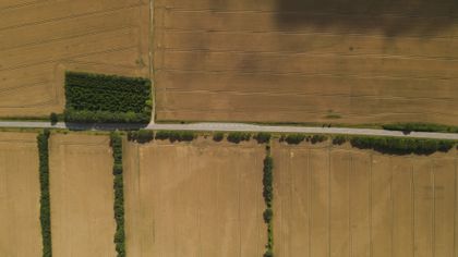
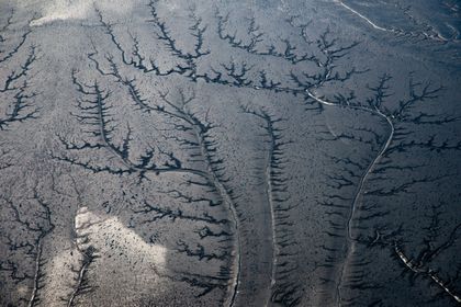
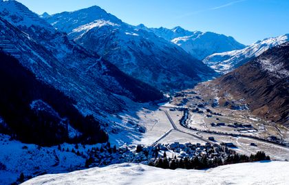
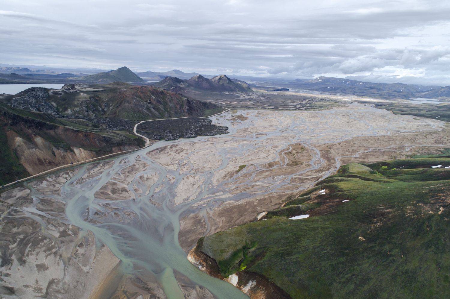
We mapped the ground no one had mapped.
Our terrain foundation model reaches — for the first time — genuine generality, transferring across canopy types, elevation bands and seasons. One model reasons for both survey aircraft and the crews walking the line.
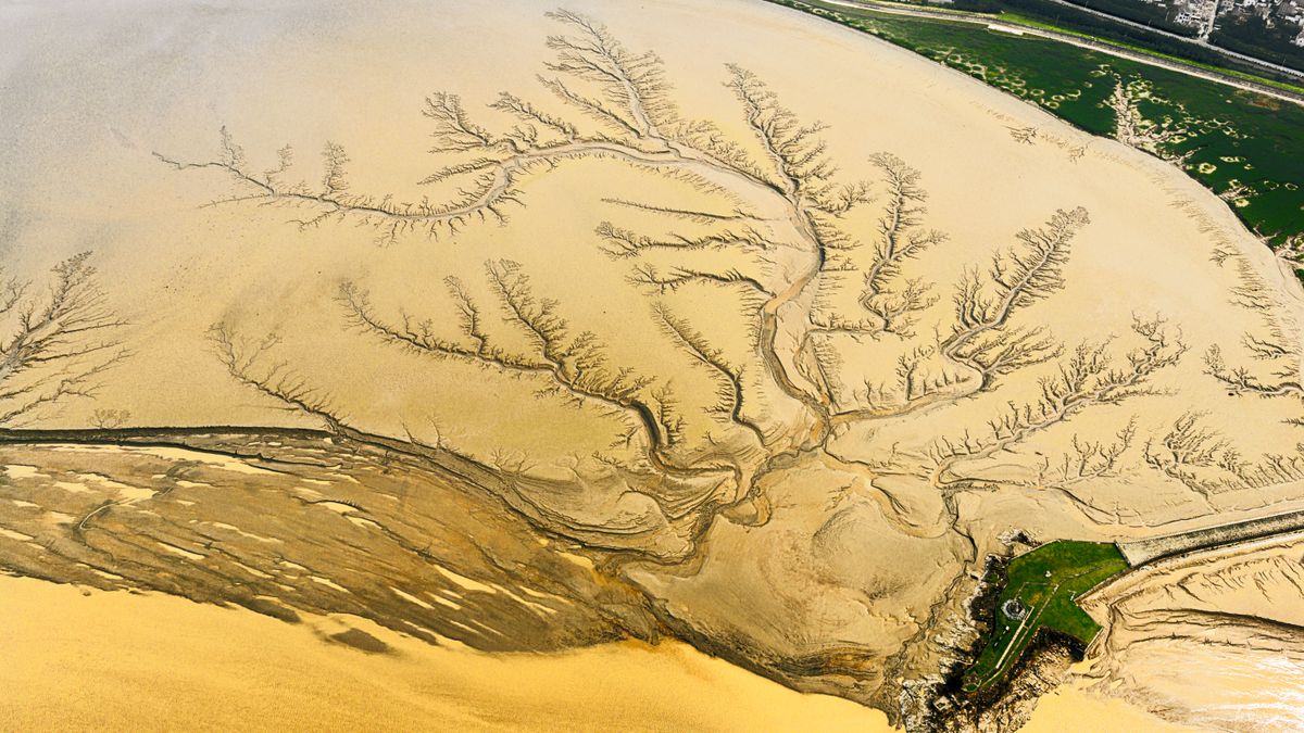
Reading ground truth at scale.
We ship a survey product that is faster, safer and far cheaper per hectare — turning terrain that used to take a season into a decision you can make on Thursday.
Precise
Neural simulation paired with airborne lidar puts every contour inside eleven centimetres — verified against ground control on all 386 flights.
Repeatable
Field-ready
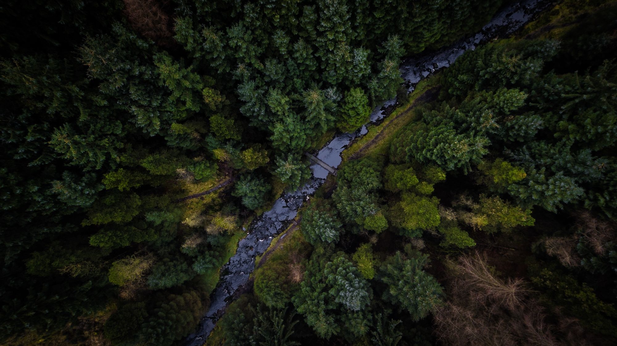
The system behind Vantram.
Explore the platform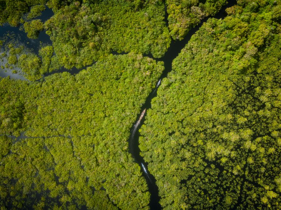
Setting a new bar for field safety.
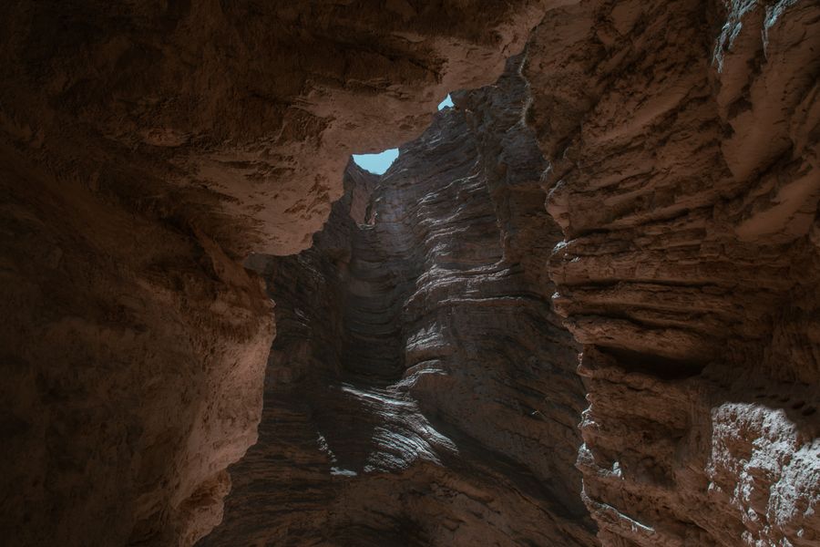
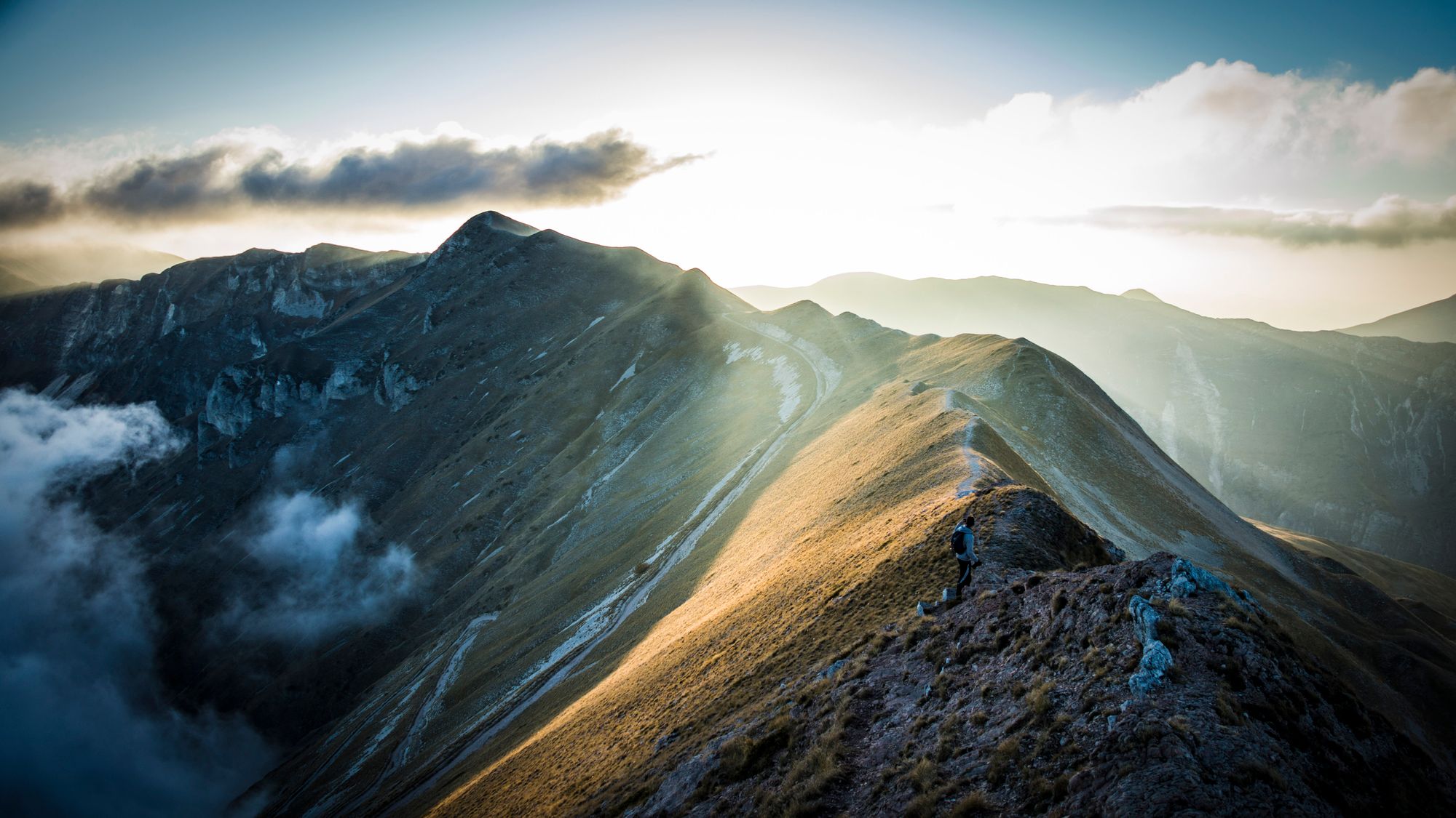
Safety is not a box we tick at the end. It is a simulation-first method, an independent validation board, and a culture where any crew member can stand a flight down without explaining themselves twice.
See our approachTrusted by the crews who work the ground.
From utilities and watershed authorities to forestry co-operatives and wildfire districts, the people responsible for difficult terrain rely on Vantram for numbers they can sign.
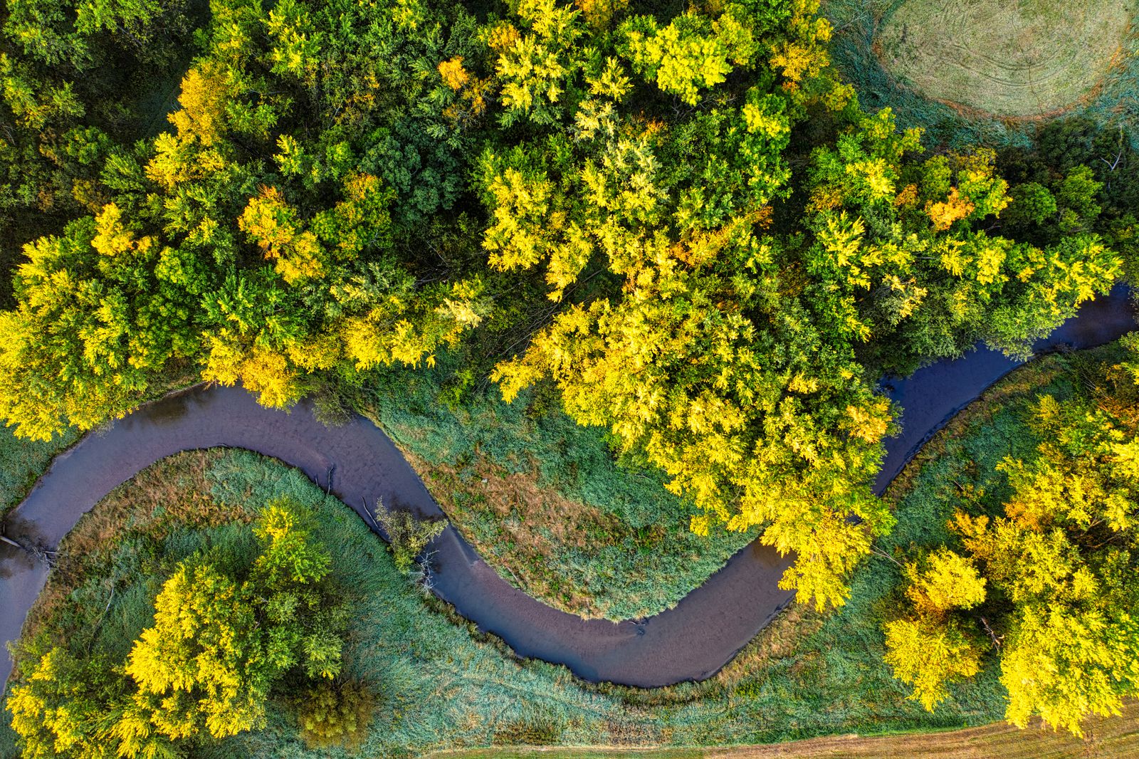
Working with Vantram changed what we consider knowable. The 2,340 km of catchment we used to survey on a seven-year cycle is now re-flown every spring, and the model tells us where to send people rather than the other way round. It has quietly become the backbone of how we plan a season.
Water See the details
Insights.
Technical deep dives, notes from the field, and the ideas shaping how we read difficult ground.
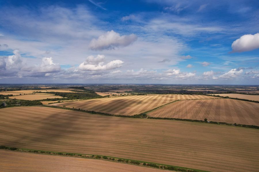
Vantram opens direct tasking, letting districts fly their own corridors overnight
Vantram and Ostmere Energy map 4,180 km of transmission corridor in nine days
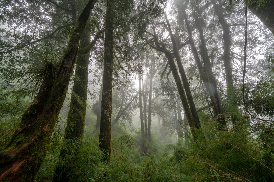
Vantram appoints Ines Okonjo-Hart as Chief Operating Officer
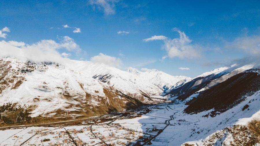
Why canopy height is the hardest thing in terrain modelling, and what finally worked

Three weeks on the Carrig plateau: what 62 hours of bad weather taught the model
Build ground truth with us.
Join the crew